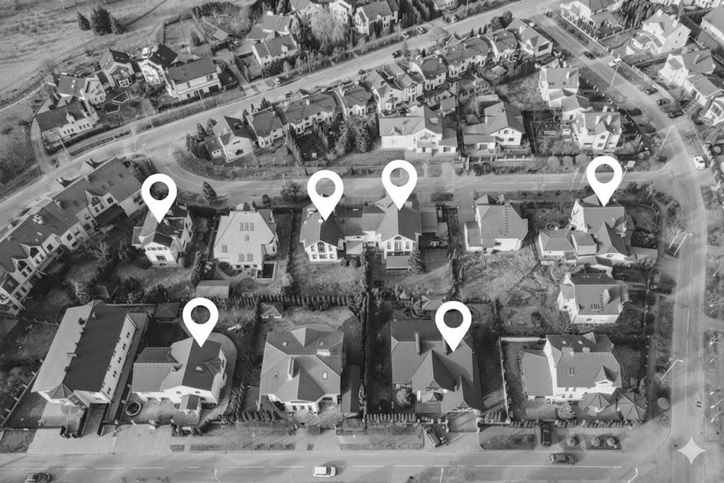
Insuring the wrong house is a serious mistake—and most contracts are signed online without on-site verification. Coordable gives insurers and underwriters validated geocoding so every policy is tied to the correct address.
For insurers, underwriters & risk teams
Addresses fail to geocode or you depend on a single provider. Missing coordinates mean gaps in risk mapping and underwriting—and manual follow-up for every failed address.
Coordable automatically tries the next provider when one fails, so more addresses resolve and your policy and risk data stay complete.
Geocoders often return a result—but the wrong building. With contracts signed online and no on-site check, that means wrong risk, wrong premium, and real liability. Coordable validates every result (housenumber, street, postcode) so you only get verified policy addresses—no silent errors.
Policies are often sold online—customers type addresses with typos, extra text, or odd formats. Those addresses fail to geocode and block automated risk and underwriting. Coordable cleans and normalizes before geocoding so every policy gets the right location without manual correction.
Underwrite with confidence.
Every policy at the right address. API or Excel—for insurers, underwriters, and risk teams.
Insuring the wrong property creates real liability and wrong risk exposure. Many contracts are signed online without on-site verification, so the address is the main link to the insured location. A wrong or missing coordinate means wrong risk mapping, wrong premium, and potential claims disputes—Coordable ensures every policy is tied to a validated address.
Yes. Upload your spreadsheet (Excel or CSV) or use the API for real-time geocoding. Coordable cleans addresses, cascades across providers, and validates results—so you get complete, verified coordinates for policies and risk lists. Export to CSV when done.
No. Coordable uses external geocoding providers and enhances their results with address cleaning and validation. You get either the same results or better results, with error detection and automatic retries—so your policy data stays accurate.
Providers don’t include built-in address cleaning or automatic switching. Coordable adds cascading (try the next provider when one fails), error detection (e.g. housenumber mismatch), and cleaning before geocoding so you get higher success rates and fewer bad coordinates—critical when insuring the right property matters.
Yes. Coordable uses a bring-your-own-key model: you add your API keys for the providers you want (e.g. Google, HERE, Mapbox). We never store or use keys for anything other than your geocoding requests. You keep full control and pay providers according to their pricing.
You define an ordered list of providers (e.g. Google → HERE → Mapbox). Coordable sends each address to the first provider; if the request fails or the result fails validation, it automatically retries with the next provider until one returns a valid result or the list is exhausted. That way you get the best success rate without manual fallbacks.
We correct and standardize spelling mistakes, typos, street name variations, abbreviations, and noise (e.g. phone numbers, "apt 4"). That leads to better geocoding results and fewer failed or wrong coordinates—especially important for customer-entered addresses in online forms.
Both. Use the REST API for real-time geocoding (e.g. at quote or binding) or upload Excel/CSV for batch runs. You get the same cleaning, cascading, and validation either way.
Yes. We offer free credits when you register so you can try the platform with your own API keys.
Start free. Upgrade as you scale with transparent, usage-based pricing. You pay your providers (Google, HERE, etc.) according to their terms; Coordable’s fee is separate and based on usage.